Mapping the world : design and conflicts
On the 13th of January 2016 the event Mapping the world : design and conflicts was setup by Design Debates. Four mapping experts (artist Jan Rothuizen, designer Joost Grootens, researcher Leeke Reinders and design researcher Naomi Bueno de Mesquita) presented their work/ research. The presentations were followed by a debate in which the different approaches of/takes on maps and mapping were discussed in a world that is facing conflicts. Questions were raised such as: What is the role of maps and the activity of mapping in a world that is more and more dealing with conflicts? How can maps help us to get a better understanding? How do mapping practices deal with questions of power? Is mapping itself a political activity?
The programme of the evening can be viewed here: http://www.designdebates.nl/
“Maps have become an increasingly active and explicit part of everyday life, particularly in a world where the possibilities for (re)production of graphic images have multiplied. Reality can be viewed in different ways, it just depends on whose eye, from which viewpoint, and the interests underlying their observations and actions. (Leeke Reinders).
What is the role of maps and the activity of mapping in a world that is more and more dealing with conflicts? How can maps help us to get a better understanding and is mapping in itself a political activity? Furthermore, technological developments also make it more difficult to achieve a single and dominant viewpoint. Information travels fast and there are plenty of advanced techniques available for the creation and manipulation of maps. Maps themselves have also become more flexible. They’re in our minds, in the car, on our mobile phone. What is the role of maps and mapping in a world that is facing conflicts?”
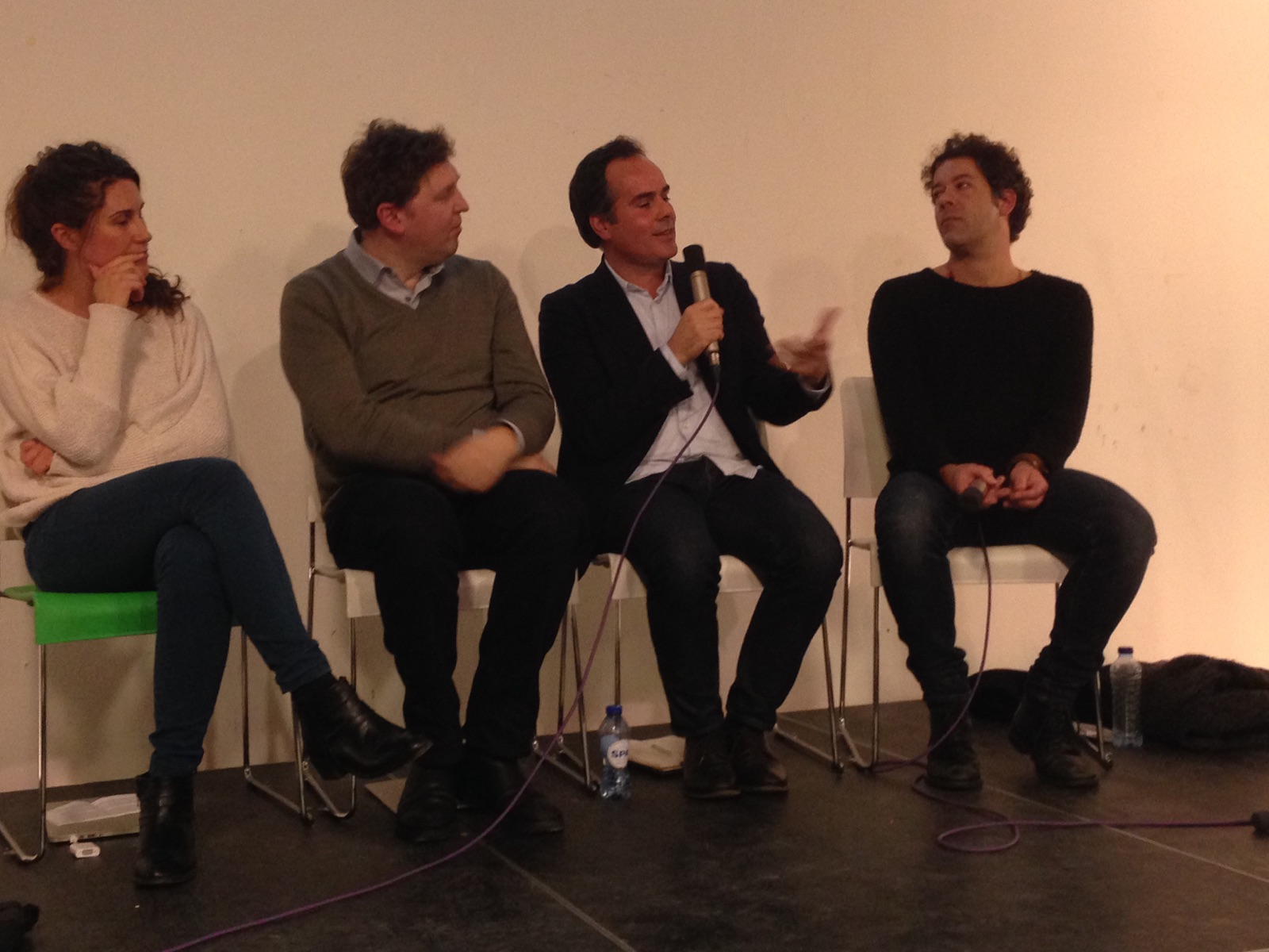
The moderator of the evening was David Hamers (lecturer at Design Academy Eindhoven and supervisors in the TRADERS programme).