Co-Creating Realities through Collaborative Mapping in Realtime
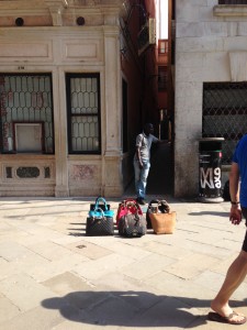
In a place where tourists make as much as two thirds of the island’s population during summer time I wanted to explore how locals deal with/ demarcate/ protect their public places amongst the violence of tourism. In the three day workshop Co-Creating Realities Through Collaborative Mapping In Realtime, students from Design Academy Eindhoven and Accademia di belle arti Venezia, were asked to map practices of informal use and appropriation of public space in the six Sestieri (the six neighborhoods) of Venice. June 2014
Without giving them a predefined legend the students were not exactly sure about what they had to look for and what could be understood as appropriation practices. By purposely letting them co-create the legend while mapping the students were able to get a grasp on the topic while in action. The students departed from a different point in the city and started walking simultaneously, in which each student was asked to follow the borders of a Sestieri. The idea was to observe and encounter traces or practices of informal use and appropriation of public space en route. When a ‘trace’ or informal practice (such as elephant paths or a street vendors’ selling spot/escape route) was found, an sms was sent to the rest of the group, so that others could add this finding to the legend. It enabled all members of the collective to reflect on their own observations and to co-author the legend. I was interested in the participatory practice of the creation of the legend; the mutual influencing in the making of a physical reality and taxonomy through real-time digital exchange.
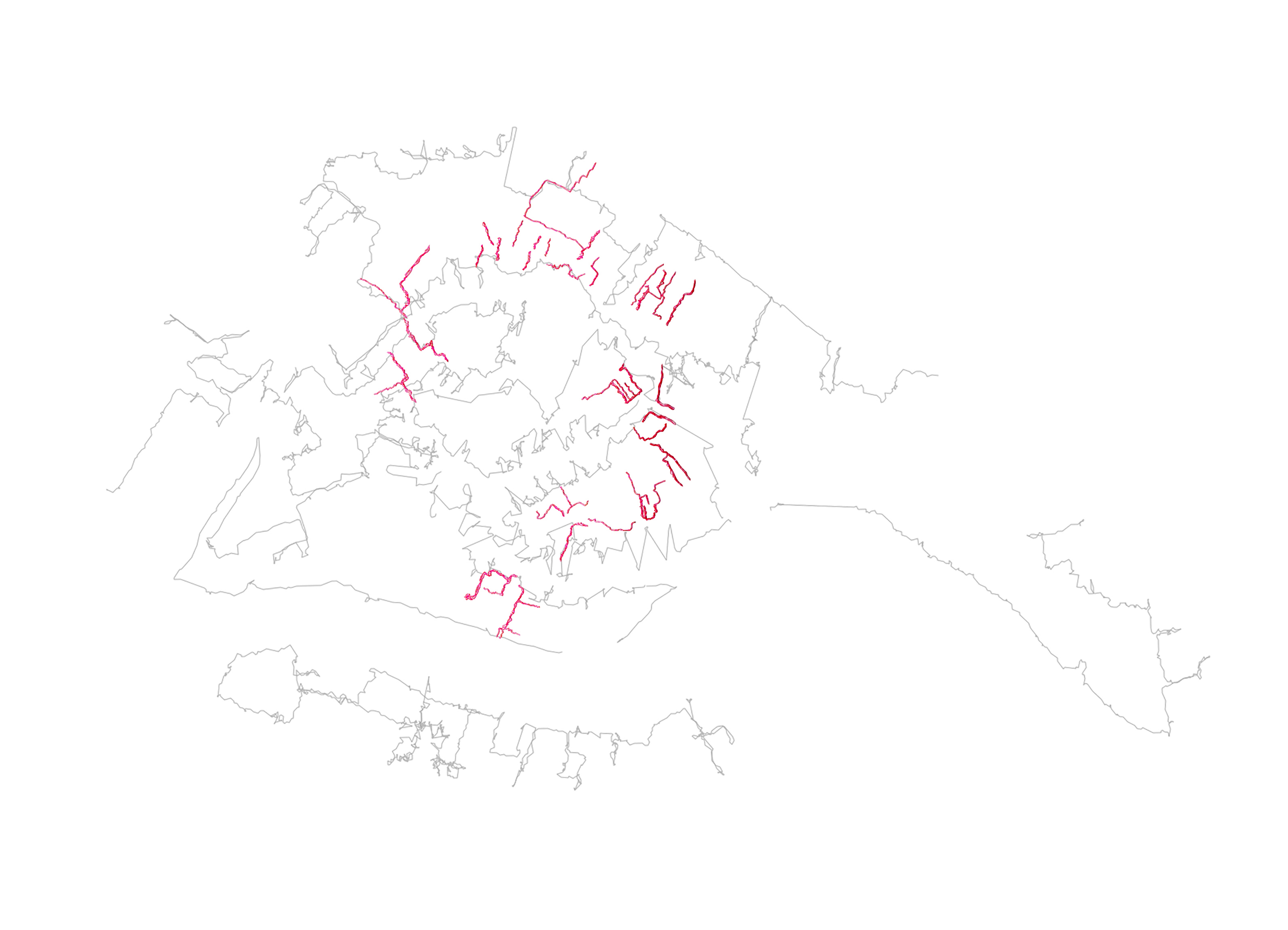
student’s walked tracks and in red the streeet vendors escape routes